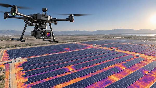
Mapping Drone Resolution Guide: GSD, Sensor Size, and Altitude for Accurate Surveys
Publication Date
author
Accurate aerial mapping begins with a clear view of what actually defines image detail. In practice, mapping drone resolution is not a single camera number. It is the result of how GSD, sensor size, focal length, and flight altitude work together in a measurable survey system.
That matters because survey quality now affects far more than cartography. It influences infrastructure inspection, construction progress control, mining volume checks, agricultural analysis, and corridor planning. In all of these tasks, a vague claim about “high resolution” is far less useful than a predictable output tied to mission settings.
For organizations comparing platforms, TSV’s engineering-first perspective is especially relevant. The useful question is not which drone sounds advanced. The useful question is whether the imaging chain can deliver the target ground detail, overlap, and positional consistency under real operating conditions.
Why mapping drone resolution deserves closer attention
A drone image can look sharp on a screen and still be weak for measurement. That gap creates expensive mistakes. A project may need crack visibility, edge definition, crop row separation, or stockpile boundaries, yet the selected flight plan may not support that level of interpretation.
The current UAV market also makes comparison harder. Camera megapixels are often highlighted, while sensor dimensions, lens behavior, and recommended survey altitude receive less attention. As TSV often emphasizes, parameters matter more than promotional language.
A better approach is to treat mapping drone resolution as an engineering output. Once that shift happens, equipment evaluation becomes more rational, and mission planning becomes easier to standardize.
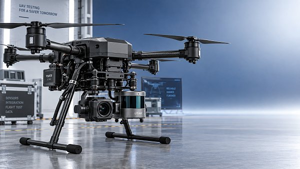
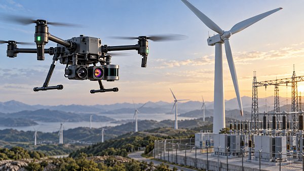
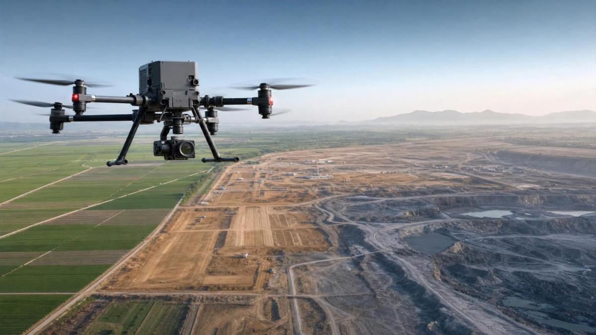
A simple visual reference helps frame the relationship between hardware and mission geometry.
The core idea behind GSD
Ground Sample Distance, or GSD, describes how much ground is represented by one pixel in the image. If a mission produces 2 cm per pixel, each pixel covers a 2 cm square on the ground.
Lower GSD means finer spatial detail. In other words, 1.5 cm per pixel generally captures smaller features than 5 cm per pixel. This is why GSD is one of the most useful ways to discuss mapping drone resolution.
Still, GSD should not be confused with absolute accuracy. A small GSD improves the potential to detect detail, but final survey quality also depends on lens calibration, shutter type, overlap, control points, and processing workflow.
Why GSD is more practical than megapixels alone
Megapixels tell you how many image pixels exist. They do not tell you how large each ground pixel becomes at a given altitude. Two cameras with similar megapixels can produce different mapping drone resolution if sensor size and optics differ.
That is why serious UAV survey decisions usually start with a target GSD, then work backward into flight height, lens choice, and mission duration.
How sensor size changes the result
Sensor size affects how much light the camera gathers and how image geometry scales. A larger sensor often supports larger pixel pitch, better dynamic range, and improved signal quality in difficult lighting.
For mapping drone resolution, sensor size also matters because it changes the effective field of view when paired with a given focal length. That means two cameras flying at the same altitude may not produce the same GSD.
This is especially important in industrial environments with reflective roofs, bare soil, water edges, or mixed shadows. Better sensor performance can preserve usable texture, which improves tie points and reconstruction stability.
Larger sensors are not automatically better
A larger sensor can improve quality, but only within a balanced payload design. If the airframe loses endurance, overlap drops, or vibration control weakens, the expected gain may disappear.
This is a common procurement mistake. The camera specification looks stronger on paper, but the full mission system performs less efficiently in the field.
Altitude is the fastest lever, but not always the safest one
Flight altitude directly changes GSD. Flying lower usually improves mapping drone resolution because each pixel represents a smaller area on the ground. That seems straightforward, but the trade-off is significant.
Lower altitude reduces coverage per image. The mission then needs more flight lines, more captures, more processing time, and often more battery swaps. In large-area surveys, this affects cost and delivery schedule.
Higher altitude expands coverage and improves productivity, yet detail declines. The right altitude therefore depends on the smallest feature that must be identified or measured, not on a general preference for flying high or low.
A practical way to think about altitude
The table shows why there is no universal altitude setting. Mapping drone resolution should be matched to the decision that follows the survey, not just the image collection step.
Where resolution decisions create business value
In construction, the wrong GSD can blur fine site changes and weaken quantity validation. In mining, it can distort berm edges or volume boundaries. In agriculture, it may limit plant-level interpretation. In utilities, it can reduce confidence near poles, wires, or corridor obstacles.
The issue is not only image quality. It is whether the collected data can support the next engineering action. That may include drafting, compliance reporting, progress verification, or a supplier benchmark review.
This is where TSV’s broader hard-tech framework becomes useful. In the same way that tolerance, latency, or repeatability must be stated precisely in other technical sectors, mapping drone resolution should be linked to quantifiable field outputs.
What to check before comparing platforms
A reliable comparison goes beyond advertised camera resolution. Several variables should be reviewed together because they influence the final dataset more than a headline specification.
- Sensor dimensions and pixel size, not only total megapixels.
- Lens focal length and distortion behavior across the frame.
- Mechanical versus rolling shutter performance during flight.
- Recommended altitude range for the target GSD.
- Flight endurance after carrying the survey payload.
- Overlap capability, mission speed, and georeferencing workflow.
When these factors are reviewed together, mapping drone resolution becomes a planning metric rather than a marketing label.
Common mistakes in real survey planning
One frequent mistake is selecting an unnecessarily fine GSD for a large site. The output may look impressive, but processing time and storage costs expand without adding decision value.
Another mistake is assuming that higher altitude can be offset later through software enhancement. Post-processing can improve clarity perception, but it cannot recover ground detail that was never captured.
A third issue appears when teams compare drones without normalizing conditions. If altitude, overlap, lighting, and speed differ, the mapping drone resolution comparison becomes misleading.
A disciplined evaluation path
Start with the smallest required detectable feature. Translate that into a target GSD. Then validate whether the camera, sensor, and altitude combination can reach it while preserving productivity and positional reliability.
That sequence is slower than reading brochure claims, but it reduces expensive reflight risk and makes supplier evaluation more defensible.
A useful next step for better UAV survey decisions
A strong mapping workflow usually begins with a short requirement sheet. Define the survey area, target feature size, expected accuracy, lighting conditions, and turnaround time. Then test whether the proposed mapping drone resolution supports those constraints.
From there, compare platforms using a common benchmark: achievable GSD, sensor format, altitude envelope, overlap efficiency, and field endurance. This creates a more trustworthy basis for technical review than broad claims about image quality.
For any organization building a more rigorous UAV evaluation method, the most productive move is simple: replace generic resolution language with measurable survey parameters. That is where clearer procurement, cleaner data, and more accurate mapping results usually begin.
Search News
Hot Articles
- Carbon Fiber StructuresHow to Specify Aerospace Carbon Fiber Assemblies for Lightweight, Load-Bearing PartsJul 11, 2026
- Machine VisionXiaomi, Alibaba DAMO Academy Drive Open-Source Robotics Model Ecosystem, Lowering Algorithm Development Barriers for Overseas SMEs Adopting Chinese Robotics SolutionsMar 30, 2026
- Cobots & ArmsShanxi 'AI+' Conference Showcases Embodied Intelligence with Multinational Buyer Engagement: Key Industry ImplicationsMar 30, 2026
Popular Tags
Recommended News
 Jul 11, 2026How to Specify Aerospace Carbon Fiber Assemblies for Lightweight, Load-Bearing PartsAerospace carbon fiber assemblies: learn how to specify laminate design, load data, joining methods, and inspection controls for lighter, reliable load-bearing aerospace parts.Elena Rostova (UAV Systems Researcher)
 Mar 30, 2026Xiaomi, Alibaba DAMO Academy Drive Open-Source Robotics Model Ecosystem, Lowering Algorithm Development Barriers for Overseas SMEs Adopting Chinese Robotics SolutionsXiaomi & Alibaba DAMO Academy's open-source robotics models lower algorithm barriers for global SMEs. Boost efficiency in manufacturing, logistics & smart retail with ROS 2 compatible solutions.TSV Data Lab
 Mar 30, 2026Shanxi 'AI+' Conference Showcases Embodied Intelligence with Multinational Buyer Engagement: Key Industry ImplicationsShanxi 'AI+' Conference highlights embodied intelligence with Tesla, Ubtech & Jiantao showcasing multimodal robotics. 40+ global buyers validated tech on-site, creating new B2B channels for industrial automation & AI solutions.Chen Wei (Automation Lead Engineer)
 Mar 30, 2026Zhongguancun Unveils 6G Integrated Sensing-Computing-Intelligence Platform to Empower Embodied Robots for Global Industrial ApplicationsZhongguancun's new 6G platform revolutionizes industrial robotics with <10ms latency, empowering global automotive, logistics & port automation. Discover how this tech boosts China's smart manufacturing exports.TSV Data Lab
 Mar 30, 2026Mech-Mind Tianjin Embodied Intelligence R&D and Production Base Goes Live, Cutting Delivery Time by 20%–30% for Global Customized AMR+Vision SolutionsMech-Mind's Tianjin AMR+Vision production base cuts delivery time by 20%-30% for欧美 & Latin American markets. Discover how this PLd-certified facility accelerates customized robotics solutions for smart manufacturing and logistics.Chen Wei (Automation Lead Engineer)
 Mar 30, 2026Boao Forum Reveals 'Co-evolution of Big and Small Brains' Trend in Humanoid Robots, China's Embodied Intelligence Accelerates Adaptation to Overseas Manufacturing Service ScenariosDiscover how China's humanoid robots, featuring 'Co-evolution of Big and Small Brains,' are revolutionizing global manufacturing. Learn about Embodied Tian Gong 3.0's ISO compliance and overseas deployment at Boao Forum 2026.Chen Wei (Automation Lead Engineer)
 Mar 30, 2026China Railway Industrial Secures Patent for Embodied Robotics in Material Handling, Boosting High-Precision Delivery Capabilities for Overseas Infrastructure and Manufacturing ProjectsChina Railway Industrial's new patent for embodied robotics in material handling boosts high-precision delivery for global infrastructure & manufacturing. Discover how this innovation enhances logistics accuracy in automotive, rail transit & EPC projects.Chen Wei (Automation Lead Engineer)
 Sep 23, 2026How to Evaluate a Machine Vision System Integrator for High-Speed Inspection LinesChoose a machine vision system integrator with proven expertise in high-speed inspection, reliable reject timing, robust optics, and measurable acceptance criteria.TSV Data Lab
 Sep 23, 2026What drives ultra-precision machining cost at 1-micron tolerance?Ultra precision machining cost per part at 1 micron tolerance depends on process, material, metrology, and yield. Learn how to compare quotes confidently.Dr. Marcus Vance
 Sep 22, 2026Drone Engine-T550CC Applications: Build the UAV Power System Around the MissionAn application guide for Drone Engine-T550CC integration, covering payload planning, airframe matching, cooling, fuel, vibration, test procedures, documentation, and service preparation.Elena Rostova (UAV Systems Researcher)
 Sep 22, 2026How to Evaluate Industrial Edge Computing Vendors for Factory DeploymentIndustrial edge computing vendor evaluation guide for factories: compare latency, protocol fit, reliability, security, and lifecycle support before deployment.TSV Data Lab
 Sep 21, 2026Drone Payload Integration: Matching Power, Data, and Center of Gravity for Reliable FlightsDrone payload integration made practical: balance power, data, center of gravity, and endurance to build safer, more reliable mission-ready flights.Elena Rostova (UAV Systems Researcher)
 Sep 20, 2026Autonomous Navigation Pricing: Cost Drivers and Budget Benchmarks for AMR ProjectsAutonomous navigation price explained: compare AMR cost drivers, software, sensors, integration, safety, and lifecycle budgets to build a scalable project plan.Chen Wei (Automation Lead Engineer)
 Sep 19, 2026How to Scope Automation Integration Services for Multi-System Factory ProjectsAutomation integration services: learn how to scope multi-system factory projects with clear workflows, interface contracts, safety boundaries, and acceptance criteria.Victor Lin (Chief Software Architect)
 Sep 18, 2026Selecting UAV Aerospace Structural Parts for Strength, Weight, and Fatigue LifeUAV aerospace structural parts guide: compare strength, weight, stiffness, fatigue life, joints, and traceability to select reliable flight-ready components.Elena Rostova (UAV Systems Researcher)
 Sep 17, 2026Selecting Commercial Drone Payloads for European Inspection ProjectsCommercial drone payloads Europe: learn how to select RGB, thermal and LiDAR systems for compliant, reliable inspection data and better project outcomes.Elena Rostova (UAV Systems Researcher)
 Sep 16, 2026Machining Tolerance Validation: How to Verify Critical Dimensions Before Production ReleaseMachining tolerance analysis validation: verify critical dimensions, measurement systems, process capability, and tolerance stacks before production release.Dr. Marcus Vance
 Sep 15, 2026AGV Tape Guidance vs Laser Navigation: Which Fits Your Warehouse Layout?AGV tape guidance comparison: discover how tape and laser navigation fit changing warehouse layouts, docking needs, floor conditions, maintenance, and route flexibility.Chen Wei (Automation Lead Engineer)
 Sep 14, 2026How Point Cloud Analytics Improves Asset Inspection Workflows Across GCC ProjectsPoint cloud analytics GCC helps project leaders improve asset inspections with accurate change detection, safer workflows, and faster maintenance decisions.TSV Data Lab
 Sep 13, 2026How Aerospace Manufacturers Can Build a Digital Thread From Design to Certified ProductionDigital manufacturing for aerospace: learn how to build a traceable digital thread from design through certified production, supplier control, and audit-ready compliance.Victor Lin (Chief Software Architect)
 Sep 12, 2026How to Select a Thermal Sensor for Mapping Drones in Surveying ProjectsMapping drone thermal sensor selection made simple: compare GSD, radiometric data, NETD, calibration, and workflow fit for accurate, survey-ready thermal maps.Elena Rostova (UAV Systems Researcher)
 Sep 11, 2026Integrating Photogrammetry Workflows into Digital Twin Projects Without Data BottlenecksPhotogrammetry workflow integration for digital twins: learn how to streamline capture, validation, versioning, and delivery to prevent data bottlenecks.Victor Lin (Chief Software Architect)
 Sep 10, 2026Hard-Tech Supply Chain Procurement: Qualifying Suppliers to Cut Lead-Time RiskHard-tech supply chain procurement guide: qualify suppliers with proven process, traceability, capacity, and change control to reduce lead-time risk.Chen Wei (Automation Lead Engineer)
 Sep 09, 2026Industrial Application Notes: Cost Factors That Shape Automation Project BudgetsIndustrial application notes cost factors explained: uncover the engineering, safety, integration, and commissioning variables that shape accurate automation budgets.Victor Lin (Chief Software Architect)